Contact me

Please feel free to contact me

Please insert your search term and hit enter

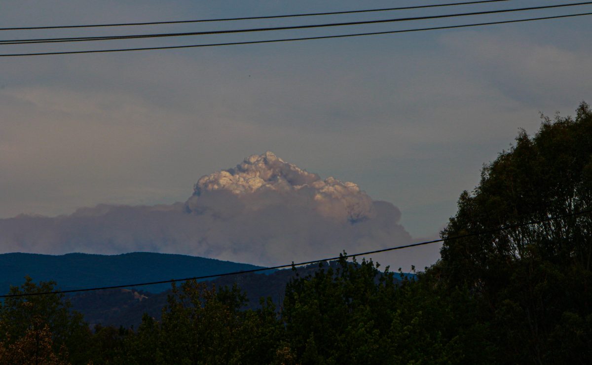
Pyrocumulonimbus clouds from Orroral Valley Namadgi National Park Bush Fire

Home » »Page 3
Business Advertising Online

Pyrocumulonimbus clouds from Orroral Valley Namadgi National Park Bush Fire

Pyrocumulonimbus clouds from the Out of control Bush Fire at the Orroral Valley Namadgi National Park ACT. Tuesday 28 January 2020 out of control bush fire created The cumulonimbus flammagenitus cloud (CbFg), also known as the pyrocumulonimbus clouds, that were visible from 60 kilometers away. Watch this video. Canberra Times reported the following on Tuesday 28.01.2020. “People in Tharwa ACT are being told it is now too late to leave as an emergency level out-of-control bushfire burning in the Namadgi National Park approaches. At 4.30pm, the ACT Emergency Services Agency said people in Tharwa, Boboyan Road, Apollo Road and Top
Tumut River Kayak Trip Video

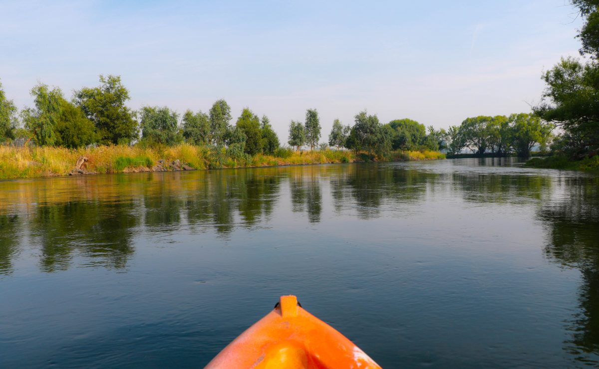
Tumut River kayak trip video is taken from the Snowy mountain Highway bridge to the Tumut Race course. Duration of the trip was about 3 hours with several stops along the way for short breaks, photographs and refreshments. Tumut river kayak trip with photos and video clips Blowering Dam Blowering Dam is located in New South Wales Location and features “Commenced in 1964, completed in 1968, and upgraded in 2010, the Blowering Dam is a major ungated dam, located approximately 13 kilometres (8.1 mi) south of Tumut. The dam was built by consortium including Morrison, Knudsen, Utah and Mcdonald on

January 27, 2020 No Comments Victor Tumut River Kayaking

Kosciuszko National Park Blowering Cliffs Walk

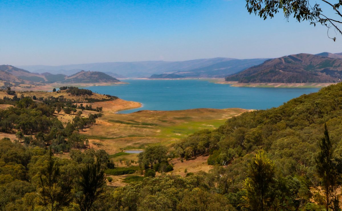
Kosciuszko National Park Blowering Cliffs Walk video. “Blowering Cliffs walking track is a 5km, grade 4 Return hike located in the Kosciuszko National Park, NSW. The hike should take approximately 2.5hrs to complete. “You’ll enjoy views galore on this challenging hike to Blowering Falls. Steep in sections with scenic, ever-changing views of Blowering Dam, Blowering Cliffs walking track winds through open montane forest, which grows on sheltered hillsides. This half-day walk begins at the carpark near Log Bridge Creek picnic area and campground. Follow the track as it coils upwards along a graded management trail. You’ll then head uphill to

How to Make Native Plant Seed Balls for Re-vegetation?

How to make Native Plant Seed balls for Re-vegetation of drought or bush fire affected area, and assisting the natural landscape vegetation to recover. The following information is taken from a guide that was compiled by Dick Green for Community Workshop at Tumut on the 23 January 2020. Seed balls are made from a mixture of clay, compost, seeds, and water. Seed balls or seed bombs have been successfully used globally for re-vegetation after bush fires, droughts in barren areas, to establish food crops and in small scale gardens and vegetable plots. Preparation equipment and ingredients: Suitable outdoors flat surface,

Rainfalls Arrive To Tumut NSW January 2020

Tumut town January average precipitation (rain) is 54 mm. February average is the lowest for the year, at 44.5 mm. Most average rainfall falls in June (82.8 mm), July (81.0 mm), and August (82.5 mm). “Tumut town is a town in the Riverina region of New South Wales, Australia, situated on the banks of the Tumut River. Tumut sits on the north-west foothills of the Snowy Mountains and is located in the traditional lands of the Wiradjuri, Wolgalu and Ngunnawal Aboriginal peoples.” Rainfalls Arrive To Tumut January 2020 Video “Tumut is often referred to as the ‘gateway to the snowy’

Dunn’s Road Bush Fires Update January 18, 2020

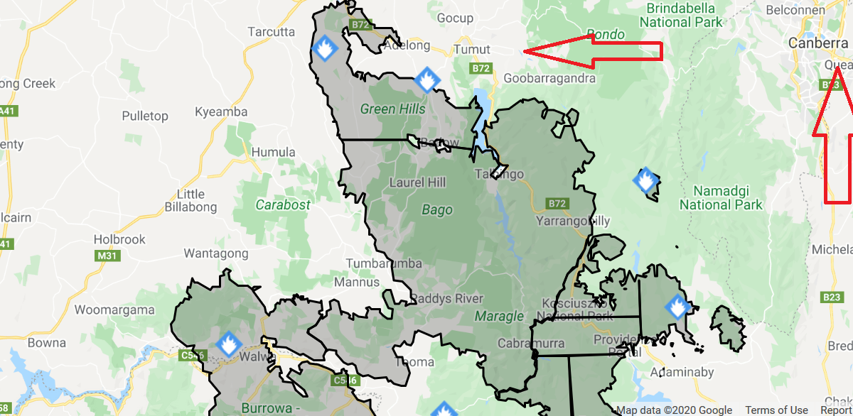
Dunn’s Road Bush Fires Update on Saturday January 18, 2020  Riverina area got some heavy rain showers on Thursday evening, and again on Friday late afternoon. These rain downfalls lasted about 15 to 20 minutes per day. The only sizeable active fire area in the Tumut Riverina area is the Bogong Peaks Wilderness area, East of Talbingo, and South of Goobarragandra. There is a significant effort on the field clearing and keeping the containment lines North and East of the Bogong Wilderness bush fire. Long Plains road northwards to the Broken cart Road. Here is a list of equipment and

Old Tumbarumba Road Bush Fire Damage January 2020

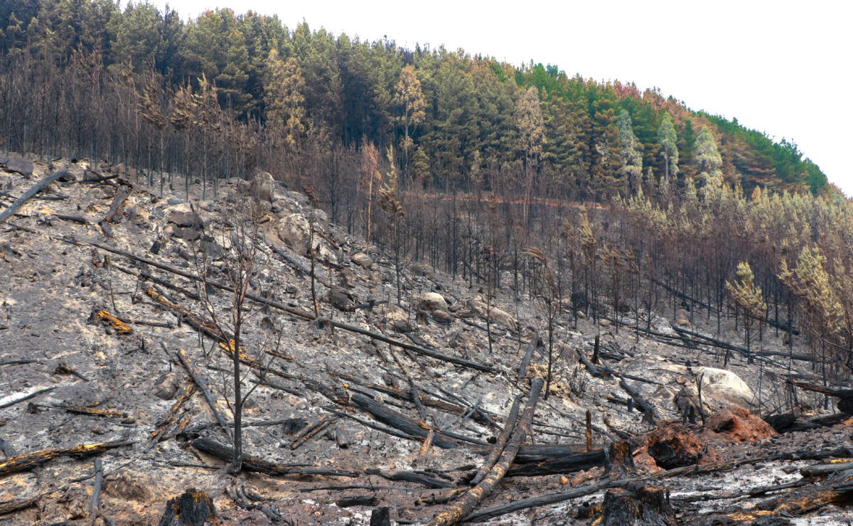
Old Tumbarumba Road Bush Fire Damage video, started by the Dunn’s Road bush fire December 2019. Eucalyptus & Fire hazard According to Tim Flannery (The Future Eaters), fire is one of the most important forces at work in the Australian environment. Aboriginal people used fire-stick farming to burn vegetation to facilitate hunting and promote the growth of bush potatoes and other edible ground-level plants. In central Australia, they used fire in this way to manage their country for thousands of years. Flannery writes that “The use of fire by Aboriginal people was so widespread and constant that virtually every early

Green Hills State Forest NSW Fire Damage January 2020

Green Hills State Forest NSW Australia covers an area of about around 26,000 hectares and is located South of Adelong and West of Batlow, New South Wales. Green Hills State Forest is predominantly radiata pine plantation. Out of control bush fire started from the Dunn’s Road bush fires that started late 2019, and reached Batlow area on Saturday 4 January. 2020. The Dunn’s Road Fire has passed over the Green Hills and Batlow area, the bush fires are still out of control East of Talbingo, in the Bogong Peaks Wilderness area, and the Snowy Alpine area near Adaminaby. Dunn’s Road

Dunn’s Road Bush Fire Damage to Batlow NSW Environment 2020

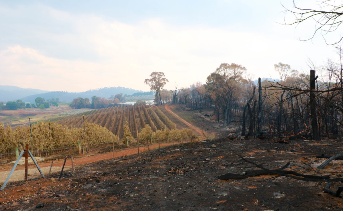
Dunn’s Road Bush Fire Damage to Batlow NSW Environment January 2020 Video. Dunn’s Road bush fire passed through Batlow area on Saturday 4 January, 2020. Batlow Road was closed for almost one week period. The Old Tumbarumba Road was closed for much longer time. Both road run on high ridges, 50-100 meter ridge top between fence lines between properties and cleared paddocks. The ridge where the road runs is full of old eucalyptus trees, massive old 4-6 feet diameter old trees. Once the grass fire runs up the paddocks to the tree filled ridge tops there is so much wood

January 18, 2020 1 Comment Victor Batlow 2020

Smoked Filled Sunday January 5, 2020 at Tumut NSW Australia

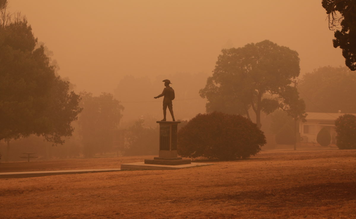
Smoke Filled Sunday at Tumut NSW from the Dunns Road Bushfires January 2020. Visibility down to 150 meters. Out of control bush fires flared up under the extreme conditions only 20 kilometers West of Tumut, and the out of control bush fire that had started at Dunns Road and East Ournie Creek area late December 2019. Bush fire impacted on Ellerslie, Adelong, Mundaroo, Ournie, Mannus, Tooma and surrounding areas. Further on to Wondalga, Kunama, Batlow and surrounding areas. Talbingo, Rosewood, Tumbarumba and the surrounding region. Watch this video to see how Tumut NSW was affected by the thick smoke cover

Information websites, Business YouTube Channels, Face Book Pages. Photography and Video clips for business advertising.